
Publisher's Synopsis
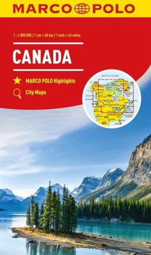
Marco Polo Canada Map: the ideal map for your trip Let the Marco Polo Canada Map guide you around this incredible country. Plan your great Canadian road trip with this highly durable, overview map of Canada. It folds away easily and is always on standby to help when you're stuck. Perfect touring map - the scale is 1 : 4 000 000* ideal to help you tour the main highways by car, RV or campervan Easy to use - the super clear mapping in strong colours and clear text will help you navigate easily Includes 6 city maps - detailed street maps of Calgary, Montreal, Ottawa, Quebec, Toronto, Vancouver as well as maps of key National Parks including Jasper, Banff, Yoho, Kootenay and Waterton Lakes Canada highlights - major sights and key points of interest are marked on the map by numbered stars and these are listed in the index booklet with a brief description to help you pick the best places to see en route Extensive index - the thorough index is fully cross-referenced to the map to help you pinpoint your destination quickly For the big trips and the little detours, trust Marco Polo's clear mapping and thorough index to guide you around beautiful Canada. *(1: 4 000 000 / 1cm=40km / 1inch=63 miles).


