
Publisher's Synopsis
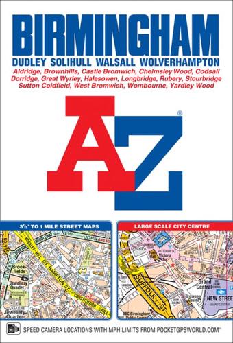
This spiral bound map of Birmingham includes coverage of:•Birmingham•Bloxwich•Dudley•Sedgley•Solihull•Stourbridge•Walsall•West Bromwich•WolverhamptonThe atlas includes 164 street map pages extending to include:•Aldridge•Brownhills•Castle Bromwich•Dorridge•Great Wyrley•Halesowen•Knowle•Longbridge•Oldbury•Smethwick•Sutton Coldfield•Wednesfield•WombourneAlso included are large scale city centre maps of Birmingham and Wolverhampton and a West Midlands rail and Midland Metro transport connections map on the back cover.Postcode districts, one-way streets and safety camera locations with maximum speeds are featured on the mapping.The index section lists streets; selected flats, walkways and places of interest; place and area names; National Rail and Midland Metro stations. There is a separate list of hospitals, NHS Walk-in Centres and hospices covered by this map.


