
Publisher's Synopsis
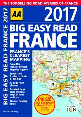
A3 format road atlas of France providing super-scale mapping, at 3 miles to 1 inch. Fully revised and updated for 2017, this specialist easy-to-read, A3 road atlas designed for the British motorist in France includes 44 city, town, and port plans, central Paris city plan, and district maps of Paris and Lyon. Coverage includes road mapping for Corsica, plus there is a channel hopping guide, channel tunnel terminal, and channel tunnel port plans.


