Publisher's Synopsis
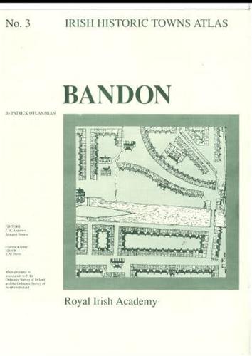
Number 3 in the Irish Historic Towns Atlas series, Bandon traces the history of this Plantation town from earliest times to c. 1900. Histories of over 600 sites are included with a descriptive essay and contains loose sheets of maps and folded maps in a folder. Coloured map 410 mm x 610 mm; 7 pages of black and white maps and 16 pages of text 410 mm x 305 mm; in a folder 410 mm x 305 mm. Author: Patrick O'Flanagan; Series editors: J.H. Andrews, Anngret Simms; Cartographic editor: K.M. Davies