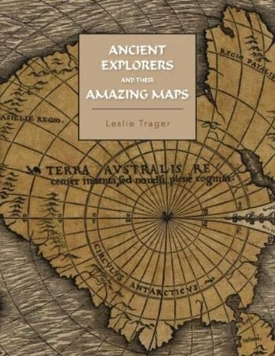
Publisher's Synopsis
This book analyses western maps made between the 13th to 17th centuries and shows them to be copies of maps made by ancient explorers going back as far as 5000 years. Thirteenth through fifteenth century Portolan Charts of the Mediterranean Sea, Black Sea and the Atlantic coasts of Europe and North Africa reflect geography going back 5000 years and are as accurate as a Mercator Projection. Sixteenth and seventh century maps of North America, South America, Greenland, and Antarctica are found to be copies of maps surveyed about 3700 years ago. Because the maps of Northern Greenland and Antarctica show their coasts very accurately and ice free, the book examines the temperature data for these areas and finds that there was sufficient warmth at that time to allow such coastal melting of the glaciers to have occurred. This finding indicates that present warming climate change is likely to melt these glacier faster than currently anticipated. The book discusses the technology available to the ancient explorers which allowed them to make such accurate maps and suggests civilizations as candidates responsible for creating them.