Publisher's Synopsis
- Browse an online sample copy of the Atlas.
- Read an interview with author Michael Farmer.
- Download sample map 30.
- Download sample map 78.
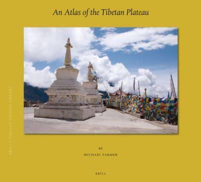
The Atlas shows for the first time the contemporary geography of the entire Tibetan Plateau, an area where major powers (China, India and Pakistan) meet in the highest landscape on earth, originally inhabited by the unique, ancient Buddhist civilization of Tibet.
Using extensive satellite imagery, the author has accurately positioned over two thousand religious locations, more than a third of which appear not to have not been previously recorded. Nearly two thousand settlements have also been accurately located and all locations are named in both Tibetan and Chinese where possible. This ancient landscape is shown in contrast to the massive physical infrastructure which has been recently imposed on it as an attempt to "Open up the West" and carry forward the Chinese "Belt and Road Initiative". With 120 maps in full colour.