Delivery included to the United States

Aberdeen A-Z Super Scale Street Atlas

Aberdeen A-Z Super Scale Street Atlas

New edition

Paperback (06 Aug 2020)

Not available for sale

Out of stock

This service is protected by reCAPTCHA and the Google Privacy Policy and Terms of Service apply.

Publisher's Synopsis

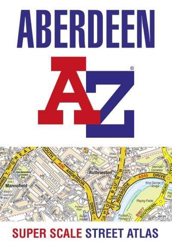
A-Z street map of Aberdeen with 51 pages of coloured road maps extending to these areas:
Blackburn, Potterton, Dyce, Aberdeen International Airport, Middleton Park, Bridge of Don, Westhill, Kingswells, Bucksburn, Peterculter, Milltimber, Cults, Cove Bay, Portlethen.

In addition, there is a large scale city centre map of Aberdeen.

Postcode districts, one-way streets and tourist features are featured on the street mapping.

The index section lists streets, selected flats, walkways and places of interest, place, area and station names, hospitals and hospices covered by this street atlas.

Main street map scale 1:11 480 - 5.5 inches to 1 mile - 8.7 cm to 1 km

About the Publisher

Geographers' A-Z Map Co Ltd

Started in 1936 as Geographers' Map Company Ltd, we are now the largest independent map publishing company in the UK, producing iconic products such as the London A-Z. We produce over 340 mapping products and employ 80 staff, many of whom joined from school, and have been with the Company for over 25 years. Our founder, Phyllis Pearsall MBE, gave us a motto- "ON WE GO" and as a team we can, and will, do just that, providing high quality mapping products and priding ourselves on customer satisfaction.

Book information

ISBN: 9780008436742
Publisher: HarperCollins Publishers
Imprint: Geographers' A-Z Map Co Ltd
Pub date:
Edition: New edition
DEWEY: 912.4123
DEWEY edition: 23
Language: English
Number of pages: 1 atlas (68 )
Weight: 270g
Height: 297mm
Width: 206mm
Spine width: 4mm