
Publisher's Synopsis
Ireland's clearest mapping, from the experts at AA
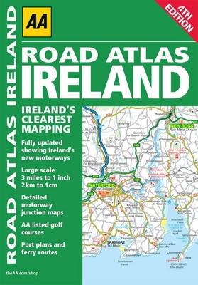
Updated from Ireland's Official Mapping Agencies, OSI (Ordnance Survey Ireland) and OSNI (Ordnance Survey of Northern Ireland), this atlas includes AA approved camping sites and AA recommended golf courses, car parks, picnic sites, port plans, and ferry routes. There are motorway strip maps detailing all of Ireland's motorway junctions; 11 detailed city and town plansBelfast, Cork, Londonderry, Dublin, Galway, Killarney, Kilkenny, Limerick, Sligo, and Waterford; and an easy-to-read 3,500 place name index, including tourist sites.


