
Publisher's Synopsis
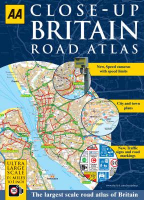
Britain's largest scale road atlas, the AA Close-up Britain Road Atlas (A4) provides super clear mapping at an ultra large scale of 1.5 miles to 1 inch. Static speed camera locations with speed limits are pinpointed, as are traffic signs and road markings. Cycle routes with steep gradients are shown and over 30 categories of places to visit are highlighted, from steam railways and castles to theme parks and gardens. Plus, 2,000 AA recommended pubs, campsites, and golf courses are also shown on the map. Each page is titled with its geographical location so you can turn to the page you need more easily. 53 town plans are provided, plus 10 airport and ferry port plan, and Central London mapping. A comprehensive 60,000 place name index is included. The paper in this atlas is produced from environmentally sustainable sources.


