
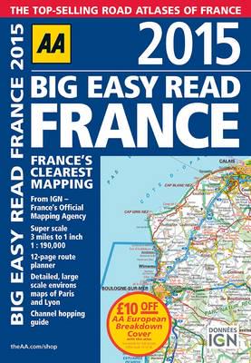
Publisher's Synopsis
This A3-format road atlas of France providing super-scale mapping, at 3 miles to 1 inch. Included are 12-page route planner; detailed, large scale environs maps of Paris and Lyon; channel-hopping guide; over 18,500 tourist sites shown on the mapping; and French place names used to match local road signs. Fully revised and updated for 2015, this specialist, easy-to-read, A3 road atlas designed for the foreign motorist in France includes 44 city, town, and port plans, central Paris city plan, and district maps of Paris and Lyon. Coverage includes road mapping for Corsica, plus there is a channel-hopping guide, channel tunnel terminal, and channel tunnel port plans.


