


Publisher's Synopsis
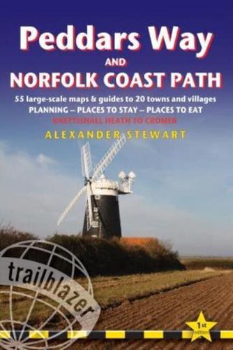
Practical guide to walking the Peddars Way and Norfolk Coast Path, a 93-mile (150km) trail that runs from Knettishall Heath Country Park on the Norfolk/Suffolk border and follows a Roman road to Holme-next-the-Sea. From here the trail hugs the beautiful Norfolk coastline through Holkham, Blakeney and Cley to end at Cromer. 10 town plans and 50 large-scale walking maps - at just under 1:20,000 - showing route times, places to stay, places to eat, points of interest and much more. These are not general-purpose maps but fully-edited maps drawn by walkers for walkers. Itineraries for all walkers - whether walking the route in its entirety or sampling the highlights on day walks and short breaks Practical information for all budgets - camping, bunkhouses, hostels, B&Bs, pubs and hotels; Knettishall Heath through to Cromer - where to stay, where to eat, what to see, plus detailed street plans Comprehensive public transport information - for all access points on the trail Flora and fauna - four page full color flower guide, plus an illustrated section on local wildlife Green hiking - understanding the local environment and minimizing our impact on it Includes GPS waypoints. These are also downloadable from the Trailblazer website