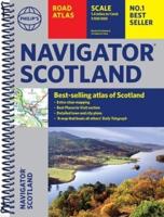
Publisher's Synopsis
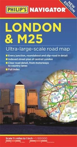
PHILIP'S BEST-SELLING RANGE OF BRITISH AND EUROPEAN MAPS'The clearest and most detailed maps of Europe' David Williams MBE, CEO, Gem Motoring Assist.- The perfect planning maps for your trip to France and Belgium- Scale 16 miles to 1 inch=1:1,000,000- Double-sided folded map with full index of place names- Super-clear mapping- All major routes shown- Detailed Navigator mapping of Chatham in the east to Maidenhead in the west, and from Hemel Hempstead in the north to Gatwick Airport in the south- AutoRoute junctions, restricted junctions, toll motorways and pre-pay motorways- Gradients- Tourist attractions- Detail of hundreds of individually named farms, houses and hamlets. Also shown are airports, airfields, stations, ferries, canals, marinas and an abundance of places of interest.