Philip's Road Atlas France, Belgium and the Netherlands

Philip's Road Atlas France, Belgium and the Netherlands - Philip's Road Atlases

New edition

Paperback (07 Jan 2016)

Not available for sale

Includes delivery to the United States

Out of stock

This service is protected by reCAPTCHA and the Google Privacy Policy and Terms of Service apply.

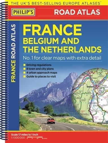
Publisher's Synopsis

Philip's Road Atlas France, Belgium and The Netherlands shows the national road networks at a scale of 1:1 million, with ultra-clear detailed mapping for urban areas. Scenic routes are highlighted, and the maps show numerous places to visit including beaches, theme parks, national parks and World Heritage sites.

Philip's Road Atlas France, Belgium and The Netherlands includes:

2-page route-planner;

Listings for ski resorts and top visitor attractions;

38 pages of clear, detailed road maps, with car ferries and toll, toll-free and pre-pay motorways all clearly marked;

Large-scale approach maps for four major cities (Bordeaux, Lyon, Paris, Strasbourg);

City-centre plans marking historic buildings and tourist attractions as well as car parks, head post offices and other facilities in eight major cities (Amsterdam, Brussels, Bordeaux, Luxembourg, Lyon, Marseilles, Paris, Strasbourg).

About the Publisher

Philip's

Philip's

Philip?s is one of Britain's best-known map, atlas and reference book publishers. It publishes many long established market leading titles across road and street atlases, as well as astronomy and reference. Philip?s is now leading the way with innovative new product for a rapidly evolving market.

Book information

ISBN: 9781849074001
Publisher: Octopus
Imprint: Philip's
Pub date:
Edition: New edition
DEWEY: 912.4
DEWEY edition: 23
Language: English
Number of pages: 1 atlas (64 )
Weight: 114g
Height: 159mm
Width: 213mm
Spine width: 9mm