
Publisher's Synopsis
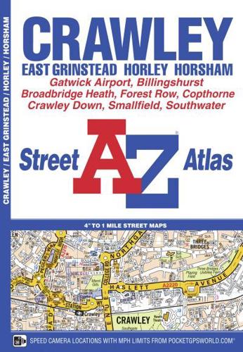
This A-Z map of Crawley is a full colour street atlas featuring 34 pages of street mapping to include:•East Grinstead•Forest Row•Horley•London Gatwick Airport•Horsham•Southwater•BillingshurstPostcode districts, one-way streets, safety camera locations with their maximum speed limit and park and ride sites are featured on the mapping.The index section lists streets, selected flats, walkways and places of interest, place, area and station names, hospitals and hospices covered by this atlas.A road map of the atlas area is featured on the outside back cover.


