Delivery included to Netherlands

Reading A-Z Street Atlas

Reading A-Z Street Atlas

New Sixth edition

Paperback (17 Jul 2013)

Not available for sale

Out of stock

This service is protected by reCAPTCHA and the Google Privacy Policy and Terms of Service apply.

Publisher's Synopsis

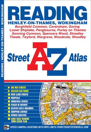
This atlas of Reading, Henley-on-Thames and Wokingham features 48 pages of coloured street mapping. The main coverage extends to include:Sonning Common, Lower Shiplake, Pangbourne, Purley on Thames, Emmer Green, Wargrave, Twyford, Tilehurst, Caversham, Woodley, Theale, Calcot, Whitley, Wennersh, Burghfield Common, Spencers Common, Shinfield and Arborfield Cross.There is separate coverage of Goring, Streatley and Woodcote.Also included is a large scale town centre map of Reading.Postcode districts and one-way streets are featured on the mapping.The index section of the atlas lists streets, selected flats, walkways and places of interest, place, area and station names, hospitals and hospices covered by this atlas.

About the Publisher

Geographers' A-Z Map Co Ltd

Started in 1936 as Geographers' Map Company Ltd, we are now the largest independent map publishing company in the UK, producing iconic products such as the London A-Z. We produce over 340 mapping products and employ 80 staff, many of whom joined from school, and have been with the Company for over 25 years. Our founder, Phyllis Pearsall MBE, gave us a motto- "ON WE GO" and as a team we can, and will, do just that, providing high quality mapping products and priding ourselves on customer satisfaction.

Book information

ISBN: 9781843485148
Publisher: HarperCollins Publishers
Imprint: Geographers' A-Z Map Co Ltd
Pub date:
Edition: New Sixth edition
Language: English
Number of pages: 72
Weight: 132g
Height: 212mm
Width: 149mm
Spine width: 3mm