Publisher's Synopsis
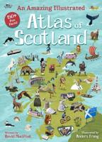
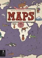
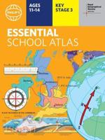
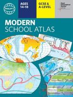
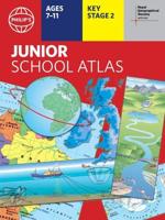
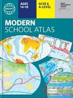
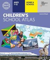
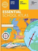
This atlas takes children on a voyage around the world in 144 exciting, full-color pages with more than 200 photos and 50 easy-to-understand topographic and political maps featuring superbly designed visual information. The itinerary begins with a 12-page introduction to the Earth's demographics and data. Children can then travel to each of the 7 continents and key regions of the world, with stops at every country to view world fact files, fl ags and fact-filled highlights from nations around the globe. Or kids can check out the "World at a Glance" section and learn about every country in the world. Each country's flag, area, population, capital, languages, government, currency and more are at their fingertips. Lively activities and questions will have kids interacting with in-depth information about the country's people, places, animals, and ways of living. This book gives kids an extraordinary chance to travel around the world and learn about many places and cultures. This is sure to be a reference book that teachers and parents will recommend to their students and kids.

