Publisher's Synopsis
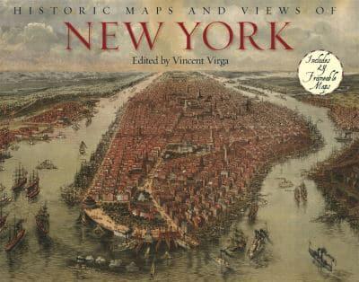
A first-of-its-kind collection of twenty-four historic maps and views of New York City, specially bound so they can be removed easily and framed in standard-size frames.Historic Maps and Views of New York is a unique and fascinating collection of twenty-four New York maps and views dating from the 1600s through the present. Included with each map is the original printing information and brief text that places it in historic context and further illuminates its qualities. Put together by a map expert based at the Library of Congress, the selections include one of the earliest maps of Manhattan by Johannes Vingboons; views of New York Harbor in the early 1700s; an elaborately detailed map of Central Park; a complete topographical map of the island of Manhattan; an early subway map; overviews of Brooklyn and Queens; and much more. Each unique and stunning representation of New York is exquisitely reproduced to show off its color and detail, making it ready for display in any home, office, dorm room, or classroom.


