Using Physical Maps

Using Physical Maps - Searchlight Books (TM) -- What Do You Know About Maps?

Paperback (01 Aug 2016)

Not available for sale

Includes delivery to the United States

Out of stock

This service is protected by reCAPTCHA and the Google Privacy Policy and Terms of Service apply.

Publisher's Synopsis

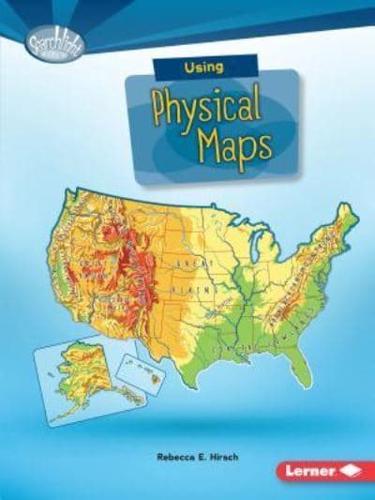
Have you ever wondered which countries have the most lakes? Or where the highest point in your state is? Physical maps show landscape features. They also often show land elevation, or how high the land is above sea level. But how do you use physical maps? And what do the different colors and symbols on these maps mean? Read on to learn all about physical maps!

Book information

ISBN: 9781512412932
Publisher: Lerner Publishing Group
Imprint: Lerner Classroom
Pub date:
DEWEY: 912.014
Language: English
Number of pages: 40
Weight: 68g
Height: 224mm
Width: 165mm
Spine width: 5mm