Publisher's Synopsis
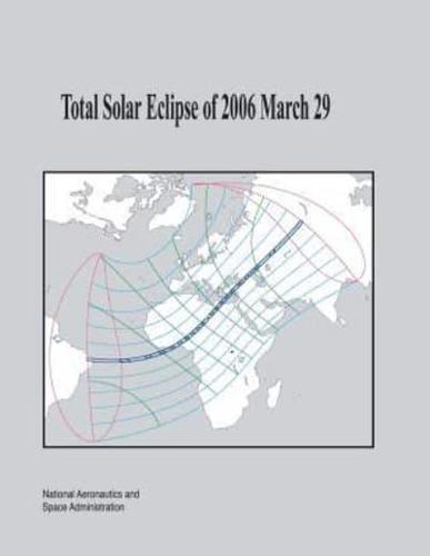
This work is the tenth in a series of NASA publications containing detailed predictions, maps and meteorological data for future central solar eclipses of interest. Published as part of NASA's Technical Publication (TP) series, the eclipse bulletins are prepared in cooperation with the Working Group on Eclipses of the International Astronomical Union and are provided as a public service to both the professional and lay communities, including educators and the media. In order to allow a reasonable lead time for planning purposes, eclipse bulletins are published 18-24 months before each event. On Wednesday, 2006 March 29, a total eclipse of the Sun will be visible from within a narrow corridor which traverses half the Earth. The path of the Moon's umbral shadow begins in Brazil and extends across the Atlantic, northern Africa, and central Asia, where it will end at sunset in northern Mongolia. A partial eclipse will be seen within the much broader path of the Moon's penumbral shadow, which includes the northern two thirds of Africa, Europe, and central Asia. Detailed predictions for this event are presented and include besselian elements, geographic coordinates of the path of totality, physical ephemeris of the umbra, topocentric limb profile corrections, local circumstances for approximately 350 cities, maps of the eclipse path, weather prospects, the lunar limb profile, and the sky during totality. Information on safe eclipse viewing and eclipse photography is included.


