Delivery included to the United States

AA 2015 Big Road Atlas France

AA 2015 Big Road Atlas France

Paperback (30 Nov 2014)

Not available for sale

Out of stock

This service is protected by reCAPTCHA and the Google Privacy Policy and Terms of Service apply.

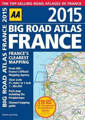
Publisher's Synopsis

A3 format road atlas of France providing clear scale mapping, at 4.5 miles to 1 inch. • Paris map included of the Périphérique • Channel hopping guide • Over 18,500 tourist sites shown on the mapping • French place names used to match local road signs Fully revised and updated for 2015, this specialist A3 road atlas designed for the foreign motorist in France includes 21 city / town plans. There is also a channel hopping guide including channel tunnel terminal plans and port plans. Coverage includes road mapping for Corsica and a central city and regional plan of Paris, plus the atlas legend is in English, French, Spanish, Italian, German and Dutch.

About the Publisher

AA Publishing

The AA was founded in 1905 as a body initially intended to help motorists avoid police speed traps. As motoring became more popular, so did we, and our activities have continued to expand into a great variety of areas. In 1910 we published the very first AA routes with handwritten details, and by 1929 we were issuing an impressive 239,000 routes a year. Since the 1990's we have dramatically expanded our publishing activities producing top notch atlases, maps and travel guides for the UK and the rest of the world. We've also produced many excellent walking, cycle, leisure and best selling lifestyle guides, driving books, kits and car accessories. No wonder AA Publishing is the UK's biggest travel publisher and one of the top ten worldwide.

Book information

ISBN: 9780749576677
Publisher: Aa Publishing
Imprint: AA Publishing
Pub date:
DEWEY: 912.44
DEWEY edition: 23
Number of pages: 1 atlas (112 )
Weight: 456g
Height: 390mm
Width: 282mm
Spine width: 13mm