Philip's Red Books Dorset and the Channel Isles

Philip's Red Books Dorset and the Channel Isles

Hardback (12 May 2008)

Not available for sale

Includes delivery to the United States

Out of stock

This service is protected by reCAPTCHA and the Google Privacy Policy and Terms of Service apply.

Publisher's Synopsis

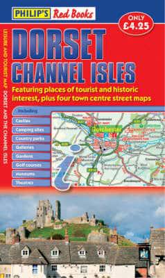
This leisure and tourist map of Dorset and the Channel Isles gives detailed coverage of the county's and islands' road networks at a scale of approximately 2.25 miles to 1 inch. It also includes town centre street maps for Bournemouth, Dorchester, Poole and Weymouth at 4 inches to 1 mile.The map shows places of tourist and historic interest, including castles, camping sites, country parks, galleries, gardens, golf courses, marinas, museums, nature trails, historic sites, sports venues, theatres, theme parks, wildlife parks and zoos. An index to principal places of interest is also featured.In a convenient folded format, this single-sided sheet map is ideally suited for both leisure and business use, whether by locals or visitors.

About the Publisher

Philip's

Philip's

Philip?s is one of Britain's best-known map, atlas and reference book publishers. It publishes many long established market leading titles across road and street atlases, as well as astronomy and reference. Philip?s is now leading the way with innovative new product for a rapidly evolving market.

Book information

ISBN: 9780540094271
Publisher: Octopus
Imprint: Philip's
Pub date:
Number of pages: 1
Weight: 86g
Height: 900mm
Width: 640mm
Spine width: 240mm