Bournemouth

Bournemouth Barton on Sea, Christchurch, New Milton, Poole, Ringwood Sway, Verwood - Philip's Red Books : Local Street Atlas

Paperback (10 Apr 2008)

Not available for sale

Includes delivery to the United States

Out of stock

This service is protected by reCAPTCHA and the Google Privacy Policy and Terms of Service apply.

Other formats/editions

Publisher's Synopsis

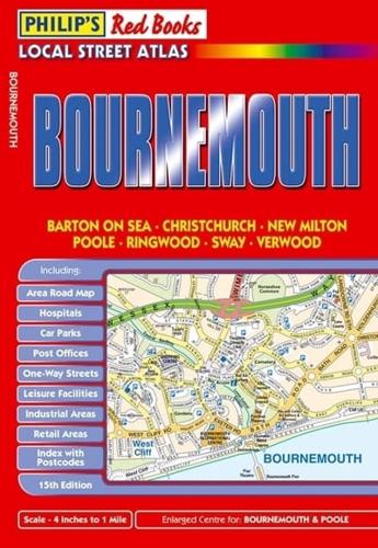
This local street atlas of Bournemouth and its surrounding towns and villages gives detailed coverage of the area at a scale of 4 inches to 1 mile. It also includes enlarged centre maps for Bournemouth (at 7 inches to 1 mile) and Poole (at 6 inches to 1 mile).The maps show hospitals, car parks, post offices, one-way streets, leisure facilities, industrial areas and retail areas, while the index lists street names and postcodes. An area road map enables the user to identify through-routes more easily.Pocket sized, and wire stitched so that it opens out flat, the atlas is ideally suited for both business and leisure use, whether by locals or visitors.

About the Publisher

Philip's

Philip's

Philip?s is one of Britain's best-known map, atlas and reference book publishers. It publishes many long established market leading titles across road and street atlases, as well as astronomy and reference. Philip?s is now leading the way with innovative new product for a rapidly evolving market.

Book information

ISBN: 9780540093359
Publisher: Octopus
Imprint: Philip's
Pub date:
DEWEY: 912.42338
DEWEY edition: 22
Language: English
Number of pages: 80
Weight: 102g
Height: 207mm
Width: 143mm
Spine width: 5mm