Publisher's Synopsis
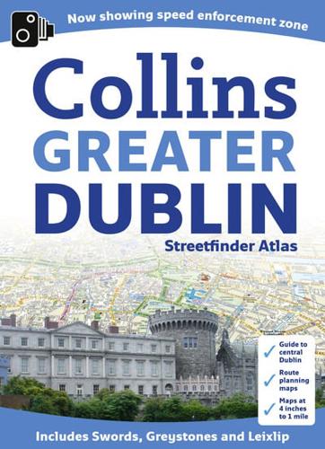
New larger format street atlas of Dublin. Clear, detailed street mapping of Greater Dublin, all fully indexed. Route planning map of whole of Dublin area at 8 miles to 1 inch. Main approaches map at 4 miles to 1 inch. The whole of Dublin mapped at 4.4 inches to 1 mile also includes detailed Central Dublin map.A handy format street atlas of Greater Dublin with clear, detailed street mapping.INCLUDES• Clear colour coded street mapping.• Speed enforement zones.• Fixed safety cameras.• High risk roads as defined by Garda and the National Roads Authority.• Places of interest shown.• Full index to street names.• A comprehensive guide section giving details of Dublin's history, places to visit, local information and useful information for the visitor.AREA OF COVERAGECovers a large area of Dublin and its surrounding area including Swords, Greystones, Clonee and Malahide, Maynooth, Leixlip, Rathcoole, Ashbourne and Adamstown.


