
Publisher's Synopsis
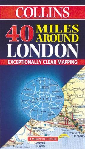
2 miles to 1 inch 1:126,720 Exceptionally clear route planning map to facilitate navigation in and around London.MAIN FEATURES• Brand new mapping from the Bartholomew digital database• Attractive layer colouring• Exceptional y clear representation of the road systemINCLUDESDetail shown includes all classified roads and selected other roads, settlements, airports, administrative boundaries and places of interest.AREA OF COVERAGEExtends from Milton Keynes in the north to Haywards Heath in the south and Reading in the west to Sittingbourne in the east.WHO THE PRODUCT IS AIMED ATAimed at anyone who lives and works in and around London. Its large scale and exceptionally clear mapping make it an essential journey planning map.OTHER TITLES IN THE SERIESCollins also publish a range of route planning maps of the London area including:20 Miles around London30 Miles around London100 Miles around LondonAll showing different levels of detail.


