Publisher's Synopsis
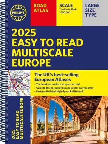
PHILIP'S: THE BEST-SELLING EUROPEAN ATLAS RANGE IN THE UK
With the detail you need at a size you can read, the 2025 Philip's Easy to Read Multiscale Road Atlas of Europe is the ultimate driving companion. Featuring:
* Super-clear main scale at 1:750,000 (12 miles to 1 inch)
* Multiscale mapping with scales from 1:200,000 to 1:3M, showing more detail where you need it
* Clear mapping of every country in Europe and all the rules and regulations you need for driving
* Easy-to-read large print place names
* Including a handy map of Europe's High-Speed Rail Network to help plan long distance journeys with ease
* Distance Chart and a 23-page route planning section included, for easy route planning across long distances
* Spectacular scenic routes clearly highlighted
* Practical A4 size with lie-flat spiral binding
'The clearest and most detailed maps of Europe' David Williams MBE, former CEO Gem Motoring Assist
'The best of its kind with quick, easy-to-use information' Fleet Week