
Publisher's Synopsis
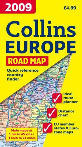
New edition of annually revised, politically coloured map of Europe. The ideal map for planning and route-finding.Scale 1 : 4 500 000 (1cm to 45 km/1 inch to 71 miles)AREA OF COVERAGEFrom the North Cape to Gibraltar and from Ireland to east of Moscow. Also includes Iceland and Cyprus.MAP DETAILPolitically coloured mapping showing classified road network, railways, airports, cities and towns.INCLUDESIndex to place names on reverse of sheetDistance chart giving distances in kilometres between main townsEuropean Union map showing member states and the Euro-zoneInternet links to further information on EuropeKey to approved country code abbreviations - GB, F, D etc.Map legend in English, French, German, Spanish and ItalianWHO THE PRODUCT IS AIMED ATHome and business reference users.


