
Publisher's Synopsis
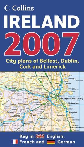
Full colour map of Ireland at 9 miles to 1 inch (1:570,240), with clear, detailed road network and counties and administrative areas shown in colour.MAIN FEATURESThis popular map has clear political colouring with counties shown in colour. In addition there are city centre plans of Dublin, Belfast, Cork and Limerick.INCLUDES• Key in English, French and German.• Railway stations, airports and car ferry routes.• Rivers, lakes and spot heights.• Distance chart.AREA OF COVERAGECovers the whole of the Republic of Ireland and Northern Ireland.WHO THE PRODUCT IS OF INTEREST TOThis is a general purpose map of interest to both business users and for those touring the country. It has a particular emphasis on political features and can be used as a reference map and a route planning map.


