
Publisher's Synopsis
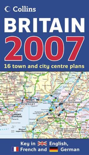
Full colour double-sided map of Great Britain at 9 miles to 1 inch (1:550,000 approx.) with clear, detailed road network and administrative areas shown in colour.MAIN FEATURESThis popular map has clear political colouring with counties and unitary authorities shown in colour. In addition to this it has 16 city/town centre street plans.INCLUDES• Index to place names.• Mileage chart.• Key in English, French and German.AREA OF COVERAGEDouble-sided map covering the whole of Britain. Northern England and Scotland are on one side with Southern England and Wales on the other.WHO THE PRODUCT IS OF INTEREST TOThis is a general purpose map of interest to both business users and for those touring the country. It has a particular emphasis on political features and can be used as a reference map and a route planning map.


