
Publisher's Synopsis
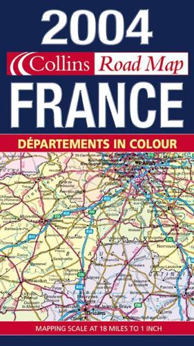
Fully revised route planning map of France in strong Collins branded cover.Scale 1 : 1 125 000 (1cm to 11 kms / 1 inch to 18 miles)AREA OF COVERAGEFrom the Belgian and German borders in the north to the Spanish border in the south, and from the Brest Peninsula in the west to the Italian and Swiss borders in the east. Also includes the island of Corsica.MAP DETAILPolitically coloured mapping showing individual Départements by name. Motorways, roads, airports, cities and towns. Motorways and Euroroutes numbered.INCLUDESPlan of Central Paris. Distance chart giving distances between main towns. Key to Département names and numbers. Map legend in English, French and German.WHO THE PRODUCT IS AIMED ATHome and business reference users.


