2000 Map of Britain

2000 Map of Britain

New edition

Sheet Map (folded) (06 Sep 1999)

Not available for sale

Includes delivery to the United States

Out of stock

This service is protected by reCAPTCHA and the Google Privacy Policy and Terms of Service apply.

Publisher's Synopsis

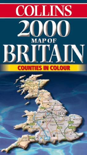
9 miles to 1 inch 1:570,000 approx Full colour map of Britain with road network and counties and unitary authorities clearly shown.MAIN FEATURES• Counties shown in colour• Covers the whole of Britain• Fully updated• 16 city/town centre plans• Mapping at 9 miles to 1 inchINCLUDES• Index to place names• Mileage chart• Key in English, French and GermanAREA OF COVERAGEDouble sided map covering the whole of Britain, Northern England and Scotland on one side with Southern England and Wales on the other.WHO THE PRODUCT IS AIMED ATThis is a general purpose map but with a particular emphasis on political features. It can be used as a reference map and a route planning map.

About the Publisher

Collins

Collins

Collins has been publishing educational and informative books for almost 200 years. Throughout this rich heritage we have maintained an impressive record in creating market-leading products across various sectors.

Book information

ISBN: 9780004488653
Publisher: HarperCollins Publishers
Imprint: Collins
Pub date:
Edition: New edition
Language: English
Weight: 129g
Height: 245mm
Width: 140mm
Spine width: 9mm