
Publisher's Synopsis
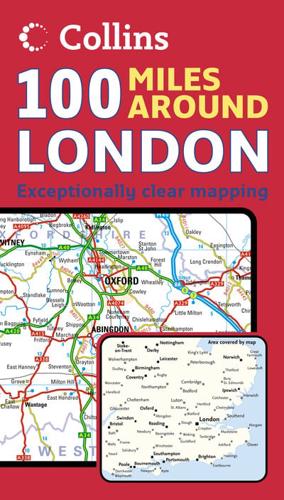
Scale: 1:285,000 (4.5 miles to 1 inch).Extremely clear road map extending to 100 miles around London, excellent for navigating and planning journeys in this area.MAIN FEATURESThis map displays an exceptional clarity of detail, with colour-coded roads according to classification. There is also a comprehensive index to place names.INCLUDES• Distances marked on the roads.• County boundaries marked.• Airports plotted.AREA OF COVERAGEFrom Stoke-on-Trent and Nottingham in the north, with Swanage and the Isle of Wight included in the south. Shrewsbury and Bristol are included in the west, extending to Great Yarmouth and Dover in the east.WHO THE PRODUCT IS OF INTEREST TOThis route planning map is ideal for those who prefer exceptionally clear mapping of the road network covering this area in and around London.


