Publisher's Synopsis
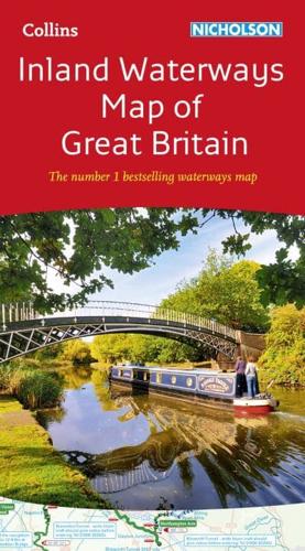
50 years as the number 1 waterways guide.The map companion to the Collins/Nicholson Waterways Guides, covering the entire network of canal and river navigations in England, Scotland and Wales, including newly restored/opened canals and rivers.The map identifies:• narrow and broad canals;• navigable rivers;• tidal river navigations;• waterways under construction.Also:• contact telephone numbers and dimensions for each waterway;• internet links.Clear insets of the Birmingham Canal Navigations, Scottish inland waterways, the Norfolk Broads and the London area.