
Publisher's Synopsis
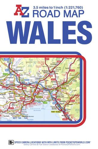
This A-Z map of Wales is a full colour fold-out road map showing the whole of Wales on one side. This map extends to also cover Liverpool to the north, Shrewsbury to the east and Weston-Super-Mare to the south.Map detail is shown at a clear 2.2 kms to 1 cm (3.5 miles to 1 inch) and includes the following features:•Clear standard road classification colours for easy identification•Full motorway junction detail•Under construction and proposed roads•Primary route destinations•Service areas•National, county and unitary authority boundaries•Selected safety camera locations with maximum speed limits•Selected fuel stations•National Park Boundaries for Snowdonia, Brecon Beacons and Pembrokeshire Coast•Hill shading sourced from Geo-Innovations + www.geoinnovations.co.uk•A wide range of tourist and ancillary information, including Blue flag BeachesThe index, on the reverse, lists cities, towns, villages, hamlets and locations featured on the map. The reference panel is shown in Welsh and English.With Wales presented on one side this publication is particularly striking when laminated and mounted on a wall.


