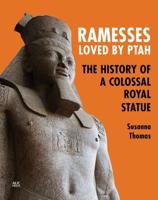
Publisher's Synopsis
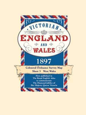
1897, the year in which these maps first appeared in The Royal English Atlas, was one of great celebration for it marked the Diamond Jubilee of Britain's longest reigning monarch Queen Victoria. But there was much more to celebrate than her continuing occupancy of the throne as the previous sixty years had seen the greatest ever period of industrial development. The rapidly expanding industrial towns and cities were now the homes of workers who once laboured on the land but were now in the factories and mines creating and processing the needs of the mother country and the Empire. To record these changes the Victorians had become great map makers and the Ordnance Survey had already been publishing maps for a century. This series, created from Ordnance Survey maps, were coloured and published in book form. They are now available in sheets for the first time. The construction of the railway network, commenced a mere 72 years before, was now virtually complete with over 20,000 miles in use. They are all marked, as are their 'predecessors' the canals. But, despite all the changes brought about by the Industrial Revolution, the great conurbations we know today were still surprisingly small in 1897. The countryside had changed little for centuries. There were still scores of aristocratic homes surrounded by park land where now the urban sprawl, new towns and industrial estates may be found. Just as interesting is what is not shown. Notice how small the towns and scattered villages are, indeed there is a village just to the west of London on sheet 9 which shows the three or four houses that made up the village of Heathrow. There are no by-passes and all the major trunk roads pass along the high streets of country towns. Motorways had, of course, not even been dreamt about but interestingly the route of a proposed channel tunnel is marked. These maps provide a fascinating insight into the past and will be a delight for local historians, walkers, genealogists and indeed anyone curious to see how their area used to be. Each map has a booklet describing England and Wales in 1897.