
Publisher's Synopsis
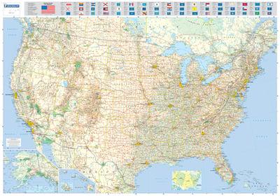
Educational and decorative, this USA wall map is ideal for use in both home and office. Updated, this wall map shows US interstate and road system with statistical information on population, surface area, state capital, predominant wildlife and vegetation. This laminated map, suitable to use with marker pens, is presented on a scale 1/3,450,000 and measures 100 x 144 cm. Our maps are regularly updated even if the ISBN does not change. (Edition updated in 2014).


