
Publisher's Synopsis
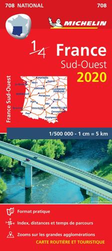
MICHELIN National Map Southwestern France 708 will give you an detailed picture of your journey from Bayonne to Montpellerand La Rochelle to Clermont-Ferrand thanks to its clear and accurate mapping scale 1/500,000. Our map will help you easily plan your safe and enjoyable journey in the southwestern parts of France thanks to a comprehensive key, a complete name index as well a clever time & distance chart. Michelin's driving information will help you navigate safely in all circumstances. Furthermore this map features zoom on major cities and towns as well as QR codes to the complete your journey with ViaMichelin. This map includes tourist sights, scenic route and is cross-referenced with the famous MICHELIN Green Guide highlighting destinations worth stopping for! With MICHELIN National Maps, find more than just your way! MICHELIN NATIONAL MAPS feature: * Up-to-date mapping * A scale adapted to the size of the country * A clear and comprehensive key * Distance and time chart * Place name index * Driving and road safety information * Tourist sights information Our maps are regularly updated even if the ISBN does not change.


