Publisher's Synopsis
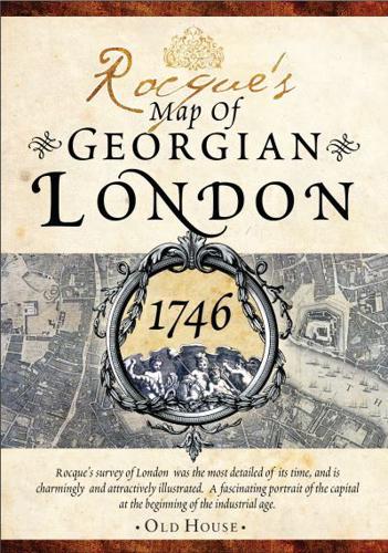
A collaboration between the renowned surveyor John Rocque and engraver John Pine, this plan of the mid eighteenth-century capital was the most detailed of its time. First published in 1746, it extends from Marylebone to Bow and from Vauxhall to Knightsbridge and Hyde Park. Reproduced here in four detailed sheets, it gives a fascinating glimpse of Georgian London in the early industrial age and is a perfect research tool for the historian and genealogist. As well as over 5,500 street and place names, the survey also includes: Markets, churches, barracks, parks, bridges, hospitals, workhouses, schools, prisons, asylums, theatres, inns and much more.