Publisher's Synopsis
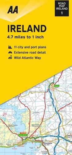
Folded, double-sided sheet map shows the detailed road network with toll motorways and dual carriageways identified. Includes motorway service areas, AA-inspected campsites, viewpoints and picnic sites. Gaeltacht regions are highlighted with place names in English and Irish. Includes 6 city plans of Dublin, Belfast, Cork, Derry Londonderry, Sligo and Waterford and 5 port plans. A separate map of Ireland features relief shading with key physical landmarks. City, town and port plans. Distance in miles and kilometers.