Publisher's Synopsis
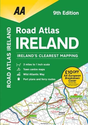
Includes AA approved camping sites, viewpoints, picnic sites, port plans and ferry routes. Toll motorways and motorway service areas are highlighted. Ten detailed city and town plans with street indexes of Belfast, Cork, Londonderry, Dublin, Galway, Killarney, Kilkenny, Limerick, Sligo and Waterford. An easy-to-read 3,500 place name index. Irish language areas shown on the main mapping with place names in English and Irish. District maps of Dublin and Belfast show the area in more detail. Fully updated in 3 miles to 1 inch format. Newly includes the Wild Atlantic Way route.