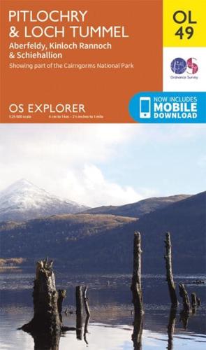
Pitlochry & Loch Tummel, Aberfeldy, Kinloch Rannoch & Schiehallion

Pitlochry & Loch Tummel, Aberfeldy, Kinloch Rannoch & Schiehallion - OS Explorer Map

Sheet Map (folded) (10 Jun 2015)

Not available for sale

Includes delivery to the United States

Publisher's Synopsis

OS Explorer is the Ordnance Survey's most detailed map and is recommended for anyone enjoying outdoor activities like walking, horse riding and off-road cycling. Providing complete GB coverage the series details essential information such as youth hostels, pubs and visitor information as well as rights of way, permissive paths and bridleways.

Book information

ISBN: 9780319242889
Publisher: Ordnance Survey
Imprint: Ordnance Survey
Pub date:
Language: English
Weight: 102g
Height: 227mm
Width: 135mm
Spine width: 6mm