
Publisher's Synopsis
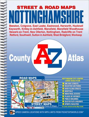
This county atlas ofNottinghamshire has 138 pages of street mapping that features all major towns and villages. Also included are 6 pages of road mapping covering the whole county and a large scale city centre map of Nottingham.There is continuous street mapping of the Nottingham, Mansfield, Mansfield Woodhouse, Hucknall, Eastwood, Stapleford and West Bridgford area that extends to include:•Market Warsop, New Ollerton, Sutton in Ashfield, Rainworth, Kirkby-in-Ashfield, Ravenshead, Selston, Calverton, Bulwell, Arnold, Lowdon, Carlton, Radcliffe on Trent, Bingham, Stapleford, Ruddington, Keyworth and East Leake.There is separate street map coverage of:•Newark-on-Trent, Worksop, Retford, Southwell, Harworth, Carlton in Lindrick, Farndon and the other major towns and villages in Nottinghamshire.Postcode districts, one-way streets and safety camera locations with their maximum speed limits are featured on the street mapping. The safety cameras are also included on the road mapping.The index section lists streets, selected flats, walkways and places of interest, place and area names, National Rail stations and Nottingham Express Transit (NET) stops. Hospitals and hospices covered by this atlas are listed separately.


