Publisher's Synopsis
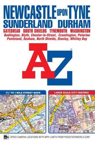
This A-Z map ofNewcastle upon Tyne includes coverage of Sunderland, Durham, Gateshead, South Shields, Tynemouth and Washington. There are 154 pages of continuous street mapping extending to:•Bedlington•Blaydon•Blyth•Chester-le-Street (part)•Darras Hall•Ryton•Seaham•Stanley•Whitley BayIn addition, there is separate coverage of Peterlee, Easington and Horden and large scalecity centre maps of Newcastle upon Tyne, Sunderland and Durham.Postcode districts, one-way streets and safety camera locations with maximum speeds are featured on the street mapping.The index section lists streets; selected flats, walkways and places of interest; place and area names; National Rail and Tyne & Wear Metro Stations. There is a separate list of hospitals and hospices covered by this publication.A Tyne & Wear Metro and Rail Connections map is included on the back cover.