Motorways and Main Roads Map Ireland

Motorways and Main Roads Map Ireland

Revised edition

Sheet Map (folded) (04 Jan 2000)

Not available for sale

Includes delivery to the United States

Out of stock

This service is protected by reCAPTCHA and the Google Privacy Policy and Terms of Service apply.

Publisher's Synopsis

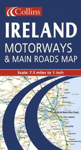
7.5 miles to 1 inch 1:475,000 Extremely clear full colour mapping, ideal for route planning.MAIN FEATURES• Colour classified roads• Selected tourist features• Comprehensive index to place names• Key to symbols is in English, French and GermanINCLUDES• Distance Chart• Ferry information• Selected physical features• Railways and airportsAREA OF COVERAGEThe whole of Ireland is covered at 7.5 miles to 1 inch.WHO THE PRODUCT IS AIMED ATThe clear, easy to understand mapping is ideal for both residents and visitors who require a route planning map.

About the Publisher

Collins

Collins

Collins has been publishing educational and informative books for almost 200 years. Throughout this rich heritage we have maintained an impressive record in creating market-leading products across various sectors.

Book information

ISBN: 9780004489742
Publisher: HarperCollins Publishers
Imprint: Collins
Pub date:
Edition: Revised edition
Language: English
Weight: 98g
Height: 250mm
Width: 135mm
Spine width: 5mm