Publisher's Synopsis
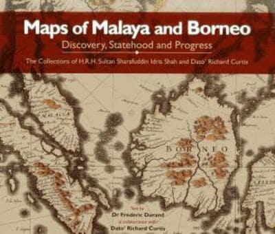
Maps of Malaya and Borneo: Discovery, Statehood and Progress showcases the extensive map collections of His Royal Highness Sultan Sharafuddin Idris Shah, Sultan of Selangor, and Richard Curtis. The combined collections contain more than 160 maps dating from the 1500s to after Malaysia's formation in 1963. The collections include early Portuguese, Dutch, French and English maps, nautical charts, maps of the interior, maps from atlases and encyclopedias, maps showing economy, culture and communications and urban maps. Extensive captions highlight key features of the maps, provide insights into their creators and explain the context in which the maps were produced and used. The presentation of the collections is preceded by an authoritative text on the mapping of Malaya and Borneo over the last 1,800 years. This text explains the quest for accurate maps; illustrates how maps showcased the changing economic, cultural and political dynami