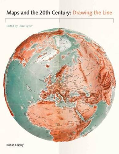
Publisher's Synopsis
The 20th century was a period of profound political, social and technological change. Population growth and movement, revolutions in transportation and communication, and the onset of the digital age meant that life would never be the same. It is impossible to overstate the significance of maps, which crept into everyday life during this period. They are always subjective, and always worthy of interrogation. Highlights of this global study include a trench-map of the Somme battlefields, a bomb damage map of London, early maps of the ocean floor, a poster showing Mao studying a map on his Long March and a Russian moon globe from 1961. Other maps discussed here include: the United Nations flag, the first stamps of Independent Latvia (1918) printed on the backs of maps, and a motorway sign. As well as sheet maps and atlases, the book gathers models, stamps, medals, manuscripts, printed books, embroidery and photographs. It also examines changes in mapping technology, from the land surveys of 1900 to the development of satellite imagery by 2000.