
Publisher's Synopsis
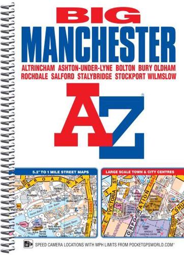
This spiral bound Big map of Manchester includes coverage of:•Manchester•Altrincham•Ashton-under-Lyne•Bolton•Bury•Oldham•Rochdale•Salford•StockportThe atlas includes 162 pages of continuous street mapping at a 'Big' 5.2 inches to 1 mile (8.2 cm to 1 km) extending to include coverage of:•Cheadle•Heywood•Hyde•Irlam•Manchester Airport•Poynton•Prestwich•Radcliffe•Ramsbottom•Stalybridge•Swinton•Urmston•WilmslowThere are also large scale city and town centre maps of Manchester, Altrincham, Ashton-under-Lyne, Bolton, Bury, Oldham, Rochdale and Stockport and a postcode map.Postcode districts, one-way streets, safety camera locations with speed limits and National Park boundaries are also featured on the mapping.The index section lists streets; selected flats, walkways and places of interest; place and area names; National Rail and Metrolink stations. There is a separate list of hospitals, hospices and NHS Walk-in Centres covered by the atlas.An easy to follow map of the Manchester Metrolink is featured on the back cover.


