Publisher's Synopsis
The British Cartographic Society
WINNER
The BCS Award 2015
WINNER
The Stanfords Award for Printed Mapping 2015
WINNER
John C Bartholomew Award for Thematic Mapping 2015
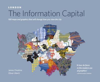
In London: The Information Capital, geographer James Cheshire and designer Oliver Uberti join forces to bring you a series of new maps and graphics charting life in London like never before
When do police helicopters catch criminals? Which borough of London is the happiest? Is 'czesc' becoming a more common greeting than 'salaam'? James Cheshire and Oliver Uberti could tell you, but they'd rather show you. By combining millions of data points with stunning design, they investigate how flights stack over Heathrow, who lives longest, and where Londoners love to tweet. The result? One hundred portraits of an old city in a very new way.
Dr James Cheshire is a geographer with a passion for London and its data. His award-winning maps draw from his research as a lecturer at University College London and have appeared in the Guardian and the Financial Times, as well as on his popular blog, mappinglondon.co.uk. He is a Fellow of the Royal Geographical Society.
Oliver Uberti is a visual journalist, designer, and the recipient of many awards for his information graphics and art direction. From 2003 to 2012, he worked in the design department of National Geographic, most recently as Senior Design Editor. He has a design studio in Ann Arbor, Michigan.