
Publisher's Synopsis
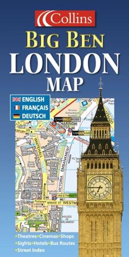
Scale: 5 inches to 1 mile. This colourful map is ideal for the visitor and tourist. Shops and other places of interest are clearly shown and named.MAIN FEATURESThis colourful little map is an ideal day trip or tourist purchase. It is packed with useful map information including major shops, galleries and theatres. Bus routes are shown and underground stations colour coded on the map face to identify the relevant tube line. The key to map symbols is shown in English, French and German and there are indexes to street names, major hotels, cinemas, hospitals, tourist information centres and much more.INCLUDES• Clear detailed mapping packed with information• Places of tourist interest plotted and colour coded• Durable card coverAREA OF COVERAGEFrom Camden Town in the north to Battersea Park in the south and from Kensington in the west to the Tower of London in the east.WHO THIS TITLE IS OF INTEREST TOThis product is especially useful to the visitor who wants to make the most of their visit to central London.


