
Publisher's Synopsis
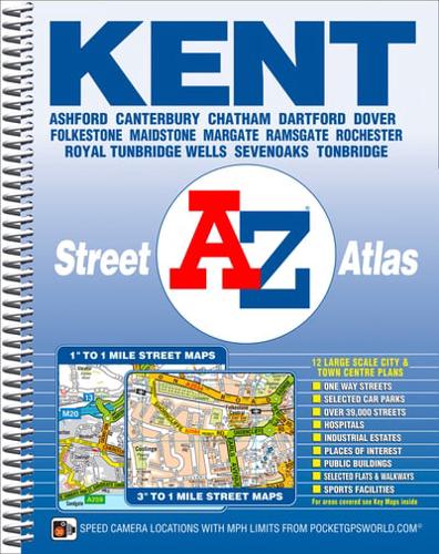
This spiral bound street atlas of Kent includes complete countywide mapping in one volume and contains 230 pages of coloured street mapping which covers the county in two sections:Section 1:Main road mapping at a scale of 1 inch to 1 mile covers the whole of the Kent administrative and postal area.Section 2:Street mapping at a scale of approximately 3 inches to 1 mile; this detailed mapping extends to cover all the major towns and villages throughout the county and includes one-way streets.In addition, there are large scale city/town centre maps of Ashford, Bromley, Canterbury, Chatham, Dover, Folkestone, Gillingham, Maidstone, Margate, Ramsgate, Rochester and Royal Tunbridge Wells.Both scales of street mapping feature postcode districts, safety camera locations with their maximum speed limit, and the Greater London Low Emission Zone Boundary.Also included are 3 Channel Tunnel approach and terminal maps, and a postcode map of the county.The index gives references for both sections of the atlas and lists streets, selected flats, walkways, places of interest, junctions, place and area names and railway stations. There is a separate index to hospitals and hospices.


