
Publisher's Synopsis
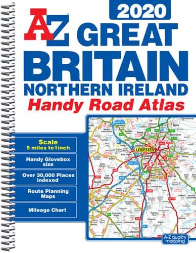
This A-Z map of Great Britain and Northern Ireland is a full colour, spiral bound, compact (approximately A5) handy road atlas.•Fully updated for 2020•170 pages of clear detailed road mapping at a mainland map scale of 5 miles to 1 inch•Mileage chart•Channel Tunnel terminus maps•Index to cities, towns, villages, hamlets and major destinations•Map reference information also in French and German•Lies flat when open•Easily stored in a glove box or door pocketInstantly recognizable and easy to use, the road mapping has been specifically tailored for the smaller scale featuring:•Clear standard road classification colours for easy identification•Motorway junction symbols•Under construction and proposed roads•Primary route destinations•Service areas•National and county boundaries•A wide range of tourist and ancillary information, including Blue Flag BeachesThis A-Z Handy Road Atlas of Great Britain and Northern Ireland is the perfect choice for those wanting a compact spiral bound publication with A-Z quality road mapping.


